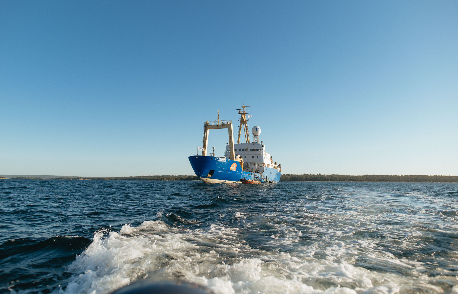

Nunatsiavut to Nunavut Expedition 2024: Update Three
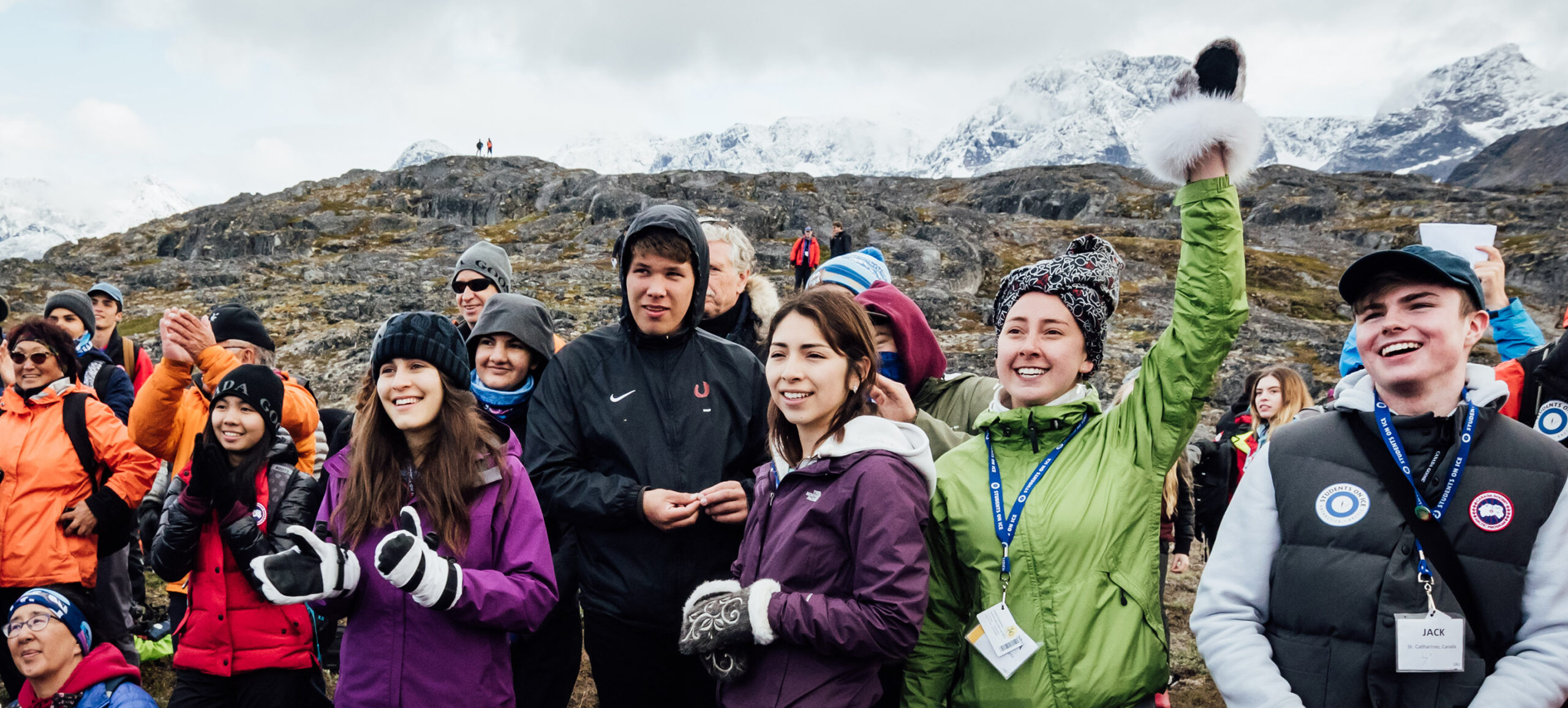
We anchored overnight and woke up to the view of Torngat Mountains Base Camp and Research Station. Located 200 km north of Nain, we were greeted at Base Camp by Parks Canada who had arranged a scavenger hunt for us. Afterwards, our group split up and hiked to either a waterfall or a more challenging route up to an Inukshuk (The word “inukshuk” means “in the likeness of a human”) overlooking Base Camp. During the hike to the waterfall, Elder and SOI Educator Maria pointed out various flora used for healing. We sampled blueberry leaves and filled our water bottles with fresh water from a stream mid-hike and took time for silence to reflect upon the Torngats, which comes from the Inuktitut word Tongait, meaning place of spirits. The mosquitos must have been excited we were visiting as they came out in full force during our hikes and it was funny to see everyone hiking in single file swatting them away.

We then set sail for Sallikuluk (Rose Island), an island that features deeply layered archaeological sites spanning 5,000 years of human history. The site contains a historically significant burial ground, sod house villages, and hunting grounds, all amidst a spectacular mountain backdrop. Elder and SOI Educator Sophie shared stories of how she and her family are connected to Rose Island and she shared memories of spending many summers here. We visited a stone cairn holding the remains of more than a hundred Inuit individuals and with the permission of Parks Canada we added rocks to this resting place and took a moment of silence.
“Rose Island was very pretty. I felt safe and relaxed while I walked around during our visit. I was happy that the Parks Canada guides allowed us to place our own rocks to add to the grave. It makes my heart feel good.”
– Jolene, Tsartlip First Nation
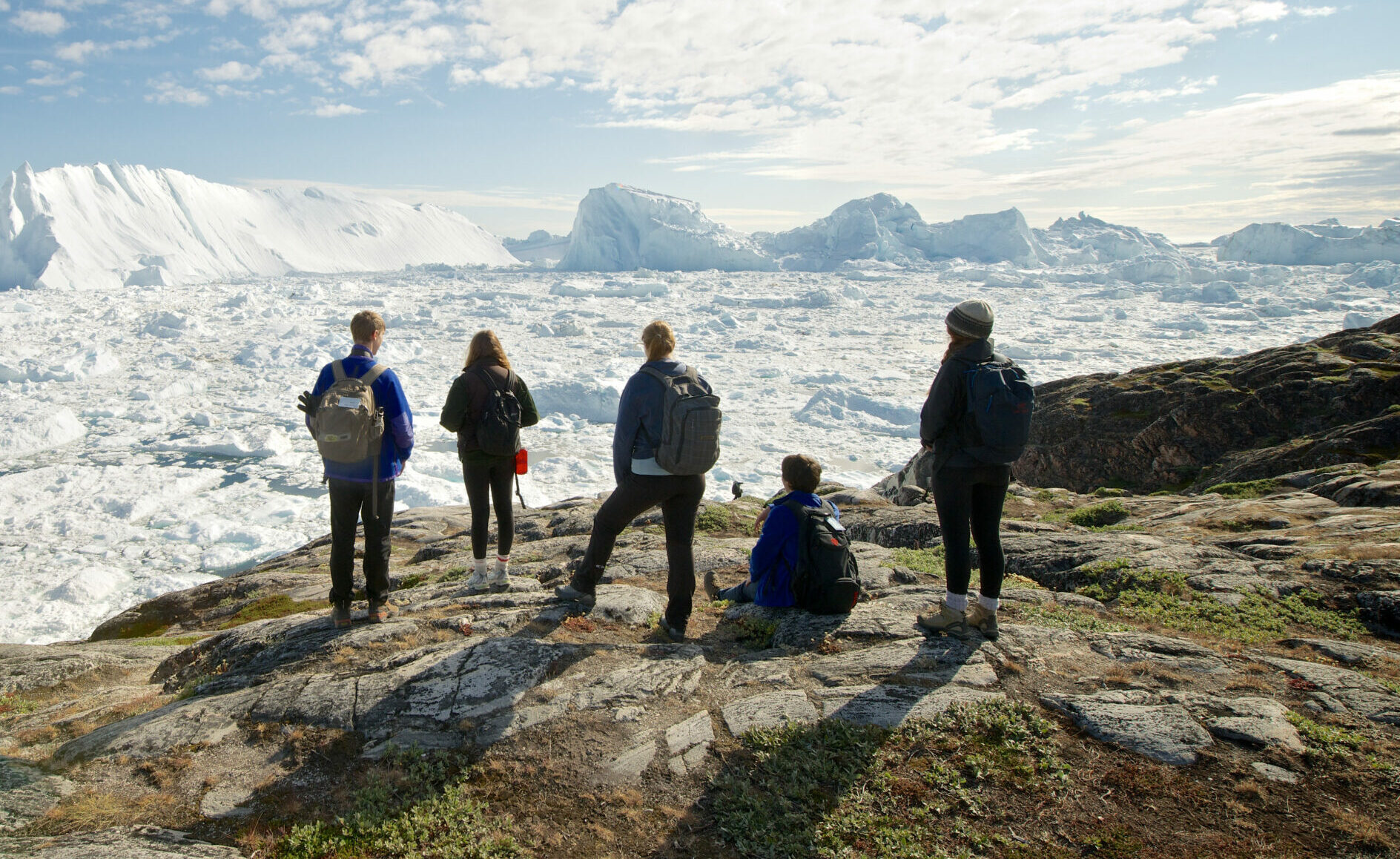
The next day we anchored at Ramah Bay, where Indigenous peoples have been present for at least 7,000 years. Ramah is one of the most significant historical sites in Northern Labrador where a semi-translucent light-grey stone called “Ramah chert” can be found. It is the only known source location of this precious stone which was the preferred raw material for tool making among Indigenous groups as far south as North Carolina.

As we approached the shore, the group was thrilled to see two polar bears and a black bear grazing along the mountainside in the far distance. Formerly home to a small mission run by the Moravian church from 1871 to 1908, Ramah is well known as an area abundant in summer hunting, fishing, and berry picking by the Nunatsiavut Inuit. We spent the afternoon doing various shoreline activities: a workshop on climate change with SOI Educator/aquatic biologist Paul, bear watching (from afar), a songwriting workshop with SOI Educator/musician Tamara, and throat singing with Keely.

“Ramah Bay is one of those places that makes you wonder why people ever left. For decades in the 19th and 20th centuries it drew Inuit and the Hudson’s Bay Company (HBC). The remains of sod houses along the beach, HBC building foundations, and graves are all evidence of the community nestled at the base of high hills beside a waterfall. I’m glad we got to visit and try to imagine what life was like back then while enjoying the natural beauty.”
– Vince Jankunis, SOI Educator/archaeologist
It was another great few days and we are all feeling really grateful to be connected to the land, while feeling and experiencing the Torngats.
We continue to head north and will wake up in Nachvak tomorrow morning.